Support the chase here – http://www.teamdominator.store
Team Dom Storm Recovery Info – https://linktr.ee/tdstormrecovery?
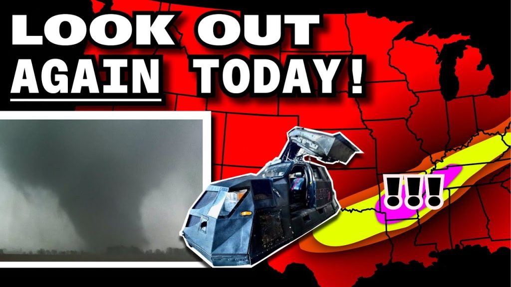
🟠 SPC Risk Level: ENHANCED (Level 3 of 5)
📍 Major Cities in Risk Zones
🟠 ENHANCED Risk (4.7M people): Memphis, TN, Nashville, TN, Little Rock, AR, Clarksville, TN, Jackson, TN
🟡 SLIGHT Risk (26.3M people): Dallas, TX, Fort Worth, TX, Baltimore, MD, Washington, DC, Arlington, TX
🟢 MARGINAL Risk (24.1M people): Philadelphia, PA, Oklahoma City, OK, Tulsa, OK, Louisville, KY, Toms River, NJ
🌪️ Tornado Risk Zones
🟣 10% Tornado Risk with Hatched Area (EF2+ potential): Memphis, TN, Nashville, TN, Little Rock, AR, Jackson, TN, North Little Rock, AR
🟤 5% Tornado Risk: Shreveport, LA, Tyler, TX, Murfreesboro, TN, Longview, TX, Bossier City, LA
🟢 2% Tornado Risk: Dallas, TX, Baltimore, MD, Washington, DC, Arlington, TX, Plano, TX
What the Percentages Mean
A 10% tornado risk over more than 43,000 square miles means that if you’re in the shaded zone, you have a 1 in 10 chance of a tornado occurring within 25 miles of you—and there’s also a potential for strong (EF2+) tornadoes.
📝 Overview
A corridor of severe weather is expected today from eastern Texas through the Mid-South and into the Tennessee Valley, where a few strong tornadoes, very large hail, and damaging winds will be possible. The greatest tornado risk exists in areas near and just south of a stationary front draped across the region.
⛈️ Hazards Include
🌪️ Tornadoes – A few strong tornadoes possible in AR, TN, and northern MS
🧊 Large to very large hail (up to 2 inches)
💨 Isolated damaging wind gusts
🕓 Timeline
🌄Morning: Elevated storms ongoing in TX with large hail risk
🕑 Late Morning to Afternoon (11 AM – 3 PM CDT): Additional storms may develop along the frontal zone from TX to TN
🌆 Afternoon to Early Evening (3 – 8 PM CDT): Tornado and hail threat peaks in the enhanced risk zone (AR/TN)
🌒 Overnight: Additional elevated supercells may form again over TX with continued large hail threat
📌 Regional Notes
🟣 Arkansas, Western & Middle Tennessee: Highest tornado risk with a few storms possibly producing strong, long-track tornadoes
🟤 East TX & Northern LA: Supercells could develop near stalled front with hail and brief tornadoes
🟢 Mid-Atlantic: Low confidence in severe development, but a few storms could bring hail and gusty winds if they form
⚠️ Stay Weather-Aware
If you’re in Memphis, Little Rock, or Nashville, now is the time to review your tornado safety plan. Strong tornadoes are possible today, especially with storms that remain surface-based. Make sure you have multiple ways to receive warnings and act quickly if a tornado warning is issued.
———————————
FOLLOW ON OTHER PLATFORMS, TIP & CONTACT ME HERE:
https://linktr.ee/reedtimmer
———————————
Rocket Man – @Willclay25
Chaser Follow – @EdgarTheStormChaser
Navigator – @localmanweatherofficial
Meteorologist in Studio – @StormFrontFreaks
Guy in the corner – @brianvotoole
Thanks to @LiveCamChaser for helping us with the webcams!!
And HUGE Thanks to RED EARTH TECH! – https://www.red-earth.tech/


